
Work is continuing to tackle invasive weeds across the Mitchell River catchment, with aerial surveys helping land managers identify priority infestations left in the wake of Tropical Cyclone Jasper.
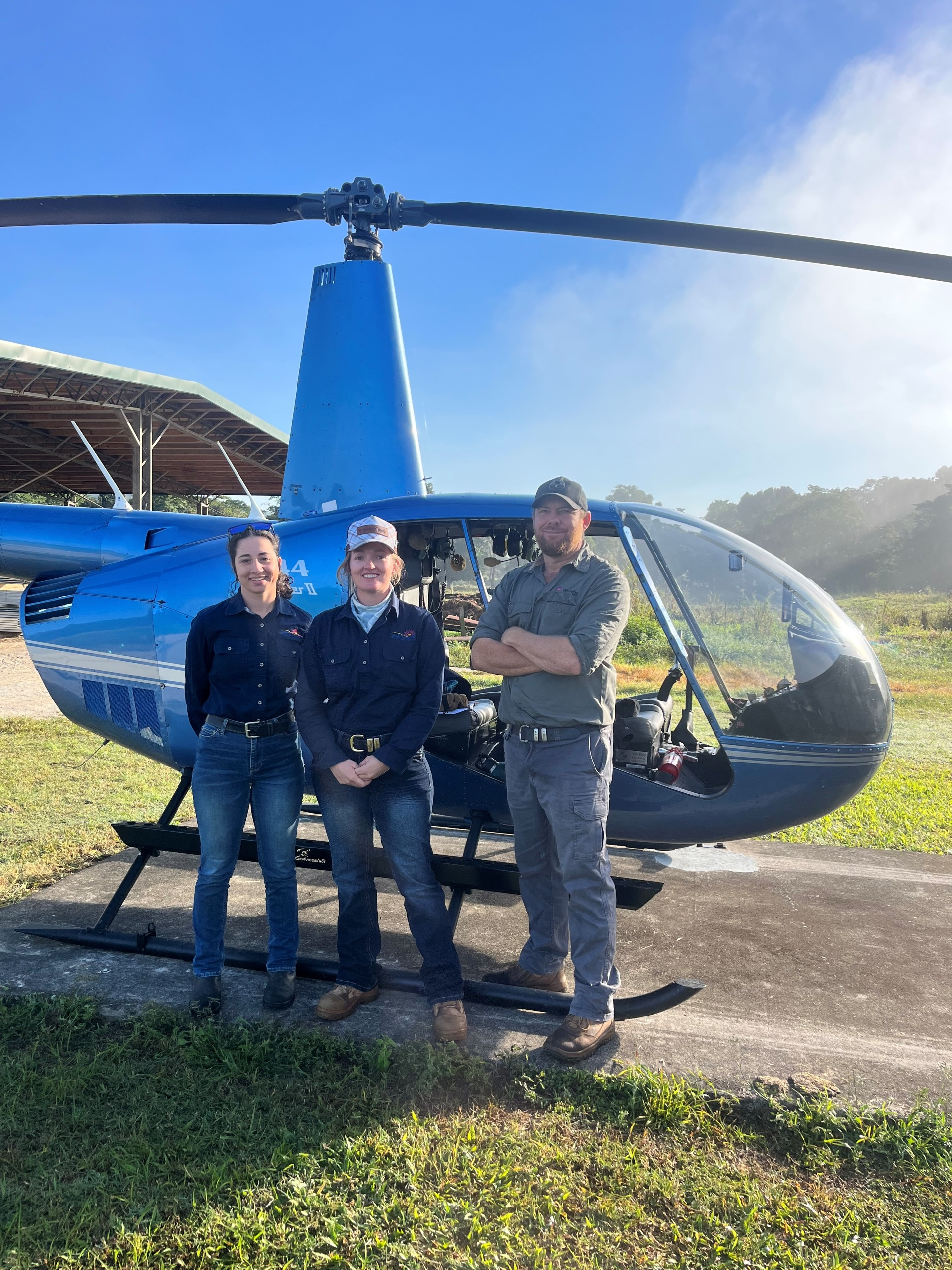
In June, Gulf Savannah NRM Land Protection Officer Mia Beki, Field Officer Jasmine Crossland and Mareeba Shire Council‘s Coordinator Land Protection Graham Wienert spent four days surveying the Mitchell River and surrounding landscape by helicopter.
The survey focused on locating severe infestations of Siam weed, rubber vine, sickle pod and several other priority weeds as part of the Disaster Recovery Funding Arrangements (DRFA) Cyclone Jasper Weeds Project.
“Surveying weeds from the sky was new for me, but something I was privileged to experience,” Ms Beki said.
“Due to the late wet season we’ve seen this year, many areas of the properties we work with are still inaccessible from the ground. Surveying from the air allowed us to observe these inaccessible zones and even touch down nearby to ground truth.”
The helicopter survey was followed by high-resolution drone mapping in July, providing detailed imagery of the affected areas and allowing the team to confirm infestation locations and assess their extent.
By combining broad-scale aerial reconnaissance with detailed drone imagery, the team has been able to identify and prioritise the most heavily infested sites, ensuring weed control efforts can be directed where they will have the greatest impact.
“We can obviously cover a lot more ground from up in the sky, so it was a fantastic way to get an idea of the big picture,” Ms Beki said.
“When you’re down on the ground, the survey area becomes a lot smaller, but aerial surveying allowed us to identify high-priority areas of treatment that we wouldn’t have otherwise found due to these access issues.”
As Australia now hosts more than 2,700 invasive plant species – threatening biodiversity, transforming habitats, reducing native vegetation and altering natural fire regimes – a variety of control methods are vital for effective management.
Targeted drone spraying is scheduled to begin in August, with follow-up ground treatment by Mia and Jasmine to control remaining weeds and help prevent further spread across the landscape.
This project is jointly funded by the Australian and Queensland governments under the Disaster Recovery Funding Arrangements.
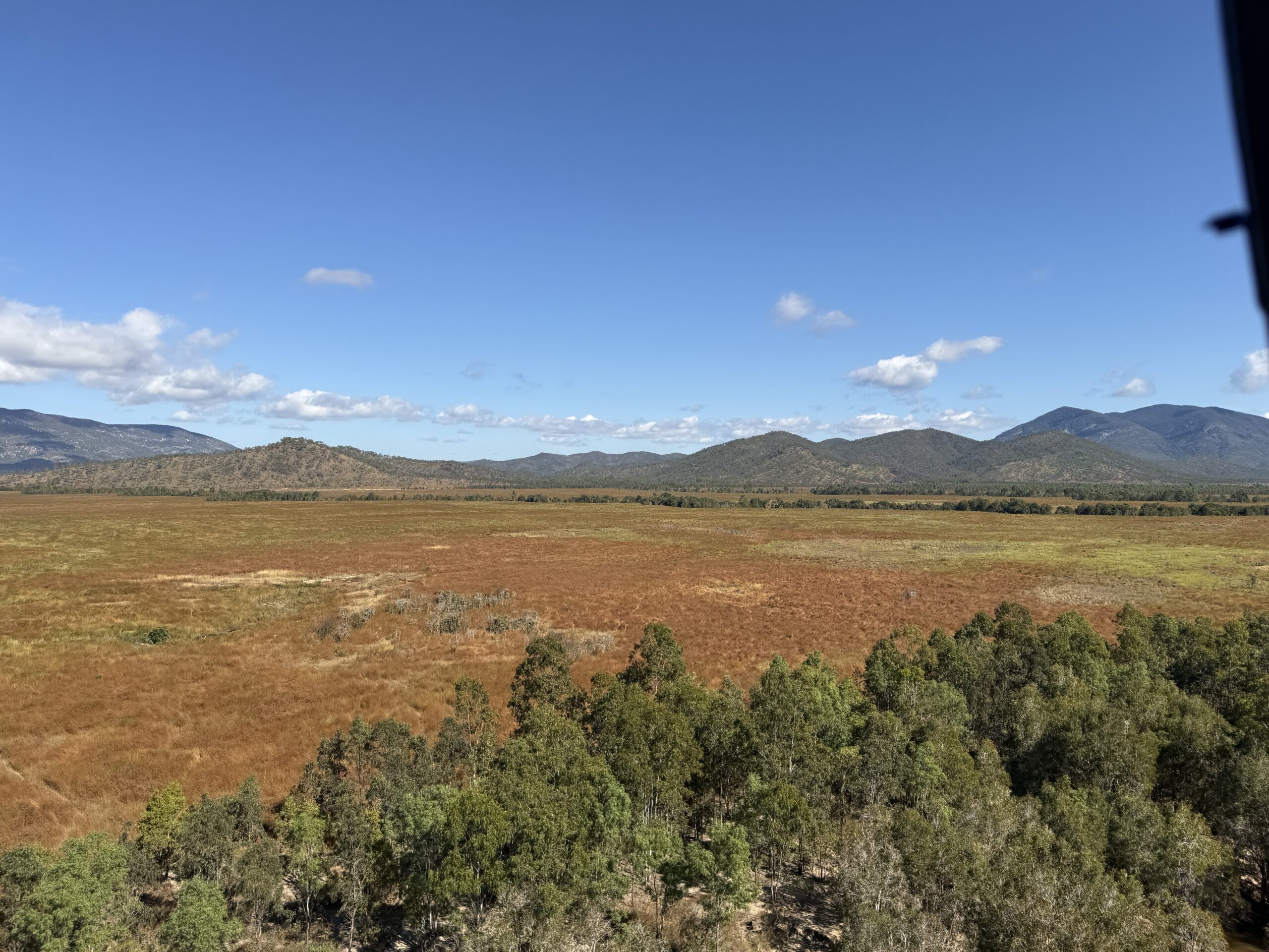
PHOTO: Views over Mitchell River Catchment, as seen by the Gulf Savannah NRM team surveying from the skies.