Digital mapping software is giving graziers practical tools to protect staff and manage land more efficiently, as showcased in recent Gulf Savannah NRM workshops.
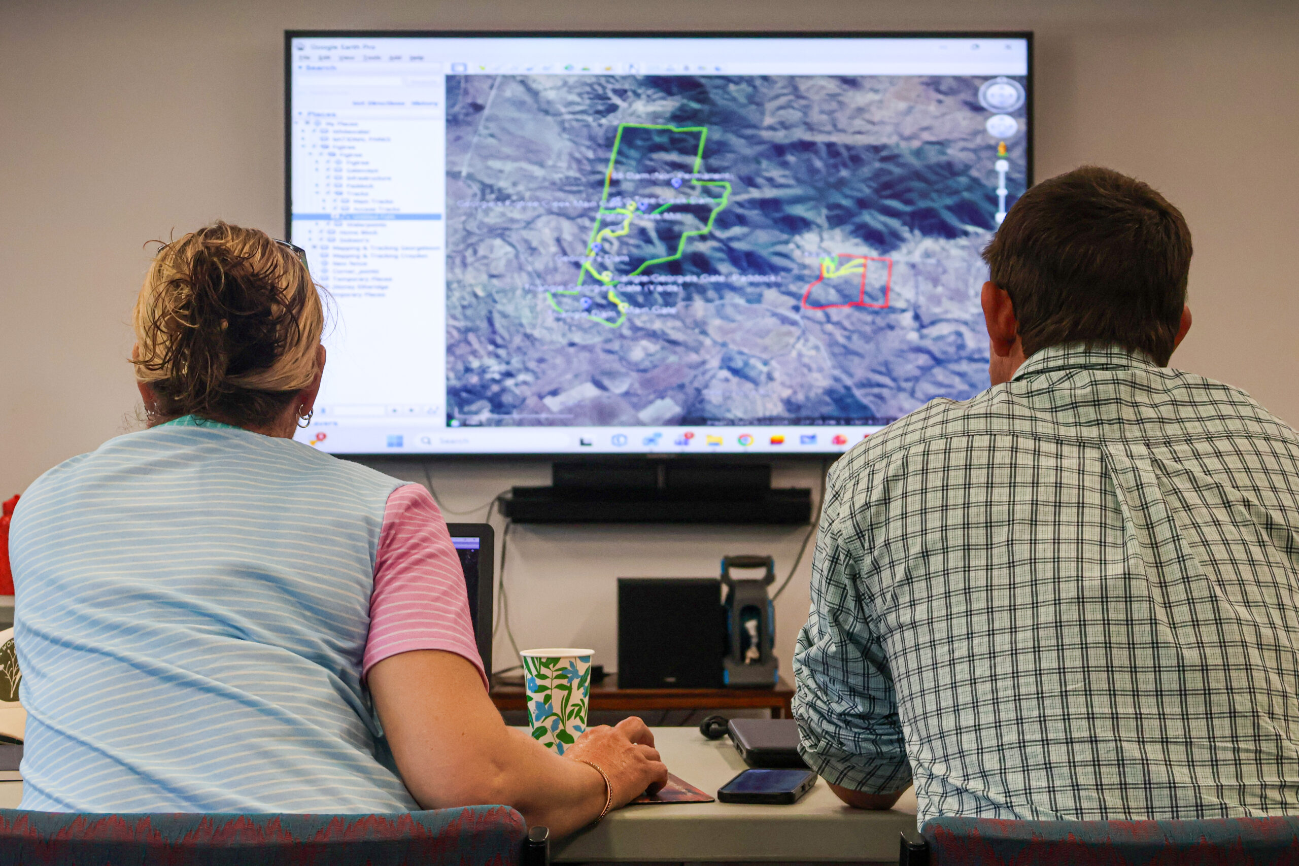
More than 30 landholders attended the hands-on sessions in Croydon and Georgetown on November 11 and 18, where Agriculture Officer Julie Nicolosi guided participants through applications Avenza, Queensland Globe and Google Earth.
Producers and Ag-Tech advisors who participated in the sessions said these modern mapping platforms can provide practical, everyday solutions to the unique challenges they face in the paddock.
Landholder Laurell Royes said the workshop highlighted just how accessible and useful these applications are becoming for her family’s day-to-day activities.
“Everyone is time poor, resource poor and people poor [on cattle stations], so what we’ve learnt today will certainly create efficient tools in the business,” Ms Royes said.
“Workplace health and safety is an especially big issue — tracking employees and making sure they know their way around a property is really important.”
Improving safety on remote properties
Workplace health and safety was a key theme of the workshop, with mapping described as essential for supporting employees assigned unfamiliar terrain in the remote and vast Gulf region.
Farmers2Founders AgTech advisor Keerah Steele said simple tools such as an interactive phone map can prevent staff from getting lost and wandering into trouble.
“Having a base map of your property is invaluable when it comes to inducting new staff,” Ms Steele said.
“Being able to use those maps to show [new employees] how to do water runs and what bores to check is a lot more productive, efficient and safe for producers.”
“It’s really about having a plan and using that data for your benefit,” she said.
The need for improved safety is underscored by national statistics: in 2023, the agriculture, forestry and fishing industry had the highest worker fatality rate among all industries in Australia, with 9.2 deaths recorded per 100,000 workers.
The same industry accounted for around 14 per cent of all work-related fatalities in 2023, despite representing only a fraction of the national workforce.
Mapping technology can therefore make a real difference in the field, as echoed by Ms Nicolosi: “Whether it’s to the corner post or the other side of someone else’s property, this software gives the ability to find your way, quite literally anywhere,” she said.
“The idea is: today we’ve put in a new road, tomorrow we’re marking it on the map, and the day after we’re hiring a new staff member then sending them out to work on a property in a safe and confident manner.”
Efficiency, planning and business benefits
The value of digital mapping extends beyond safety, with participants highlighting its potential for land management and infrastructure planning.
Ms Nicolosi said the workshops were designed to help landholders make maps more intuitive and functional.
“The work we’re doing with producers at the moment is about getting them up to speed on how to change the way things look and make them more understandable through colours, size and scale,” she said.
“Those features allow us to operate better on-farm, and communicate what we’re doing and where we’re doing it in real-time situations out in the field.”
National data highlight the importance of effective land management: according to the most recent land‑use mapping published by ABARES, around 43.3 % of Australia’s land was classified as “grazing native vegetation” in 2020–21.
With such a large portion of the country falling under the responsibility of cattle graziers, accurate mapping and strategic management are vital for effective land use.
As highlighted by Ms Nicolosi: “Whether you’ve got endangered habitats, a land type of significance, a watercourse running through your property, or any national, state or local roads, you can compile all of that into an image that allows you to locate and navigate those features.”
By giving producers the skills to visualise and manage these features, digital mapping helps make day-to-day decisions more informed and sustainable.
Empowering producers with GIS
In many rural parts of the region, property maps often lag behind real changes because updates rely on GIS specialists or funding.
Ms Nicolosi said this can leave landholders with maps that are several years out of date.
“A big issue we have is reliance on GIS personnel, and the limitation that it only gets done when there’s a project that develops maps,” she said.
GSNRM is working to address this gap through capacity-building activities such as the Mapping and Tracking workshop series.
“Some properties may not get updated maps for three to five years, so the idea of these workshops is to use software that allows people to create new mapping data or update existing files themselves,” Ms Nicolosi said.
For participants, the workshops therefore equip landholders with a rare chance to access hands-on support in their own communities.
“Gulf Savannah does a fantastic job in bringing us producers out,” Ms Royes said.
“Put your hand up, dip your toes in the water, and go to a workshop.”