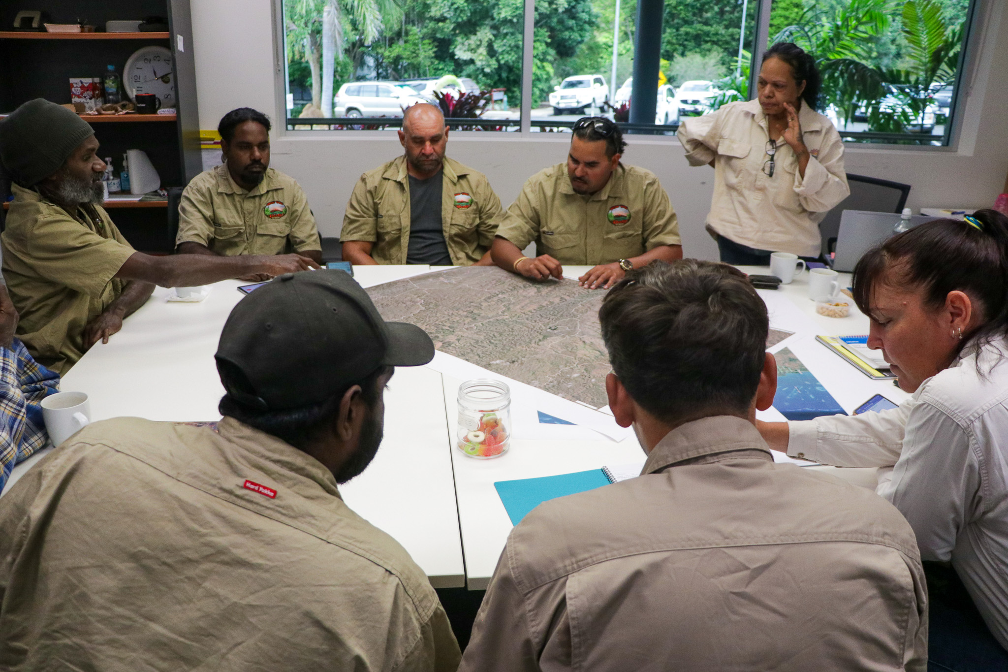
Last month, Kawanji rangers from Jawiyaba Warra Aboriginal Corporation gathered at GSNRM’s Mareeba office to upskill in mapping system technologies.
Technical Adoption Officer Keerah Steele and GIS Officer Mahtsente Tadese facilitated the training, which focused specifically on offline GPS app Avenza and Geographical Information Systems (GIS).
Mapping tools such as these are crucial for work on Country: using various data formats, 3D models, graphs and real-time weather tracking, these systems unveil important geographical contexts such as locations and conditions across the land.
In 2024, Jawiyaba Warra was awarded $75,000 by the Looking after Country Grant program for Phase Two of the Imbala Butterfly Project, which seeks to protect key habitat on Bonny Glenn Station near Lakeland, Queensland.
Increased mapping capacity will support the rangers in their execution of this project, making visual and satellite data more accessible.
Discover more about Jawiyaba Warra and the Imbala Project on page 9 of the latest Gulf Walk-About